Project brief
A comprehensive MATLAB simulation environment for evaluating GPS/INS integration algorithms. The simulation models realistic GPS signal impairments (multipath, ionosphere/troposphere, satellite geometry variation, NLOS) and MEMS/tactical-grade IMU noise, bias, and scale factor errors. EKF and UKF are compared across 500 Monte Carlo runs over representative flight trajectories.
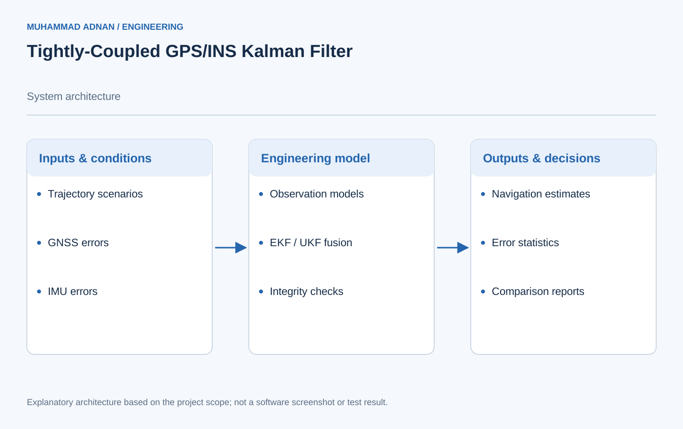
The project is a simulation-based estimator comparison. The explanatory diagram shows the evaluation structure and avoids fabricated Monte Carlo plots.
The engineering challenge
Compare navigation estimators under realistic sensor errors, satellite impairments, and loss of aiding.
Engineering approach
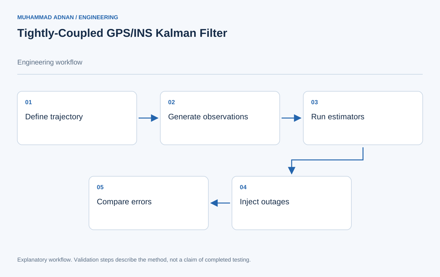
- Model raw satellite observations and inertial error sources.
- Run EKF and UKF variants against shared trajectory scenarios.
- Examine outage response and integrity indicators using repeatable analysis outputs.
Features & capabilities
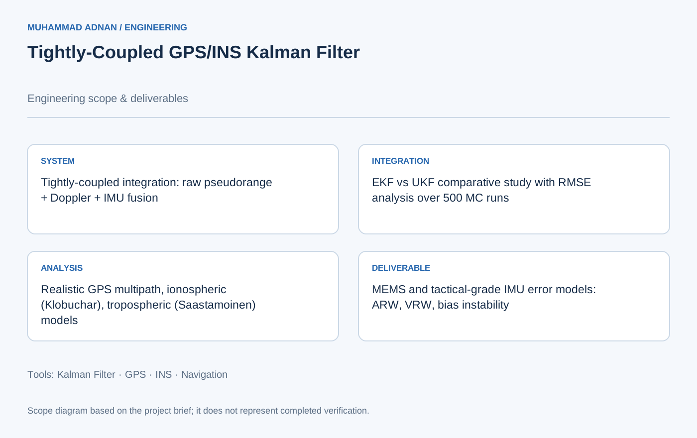
- Tightly-coupled integration: raw pseudorange + Doppler + IMU fusion
- EKF vs UKF comparative study with RMSE analysis over 500 MC runs
- Realistic GPS multipath, ionospheric (Klobuchar), tropospheric (Saastamoinen) models
- MEMS and tactical-grade IMU error models: ARW, VRW, bias instability
- GPS outage injection: 10s, 30s, 90s at critical trajectory segments
- Integrity monitoring: RAIM with FDE for aviation applications
- MATLAB 3D trajectory visualization with error ellipse animation
- Automated test report generation with statistical tables and plots
Software & engineering tools
MATLAB R2024a, Navigation Toolbox, Optimization Toolbox, custom sensor and atmospheric models, Python post-processing