Project brief
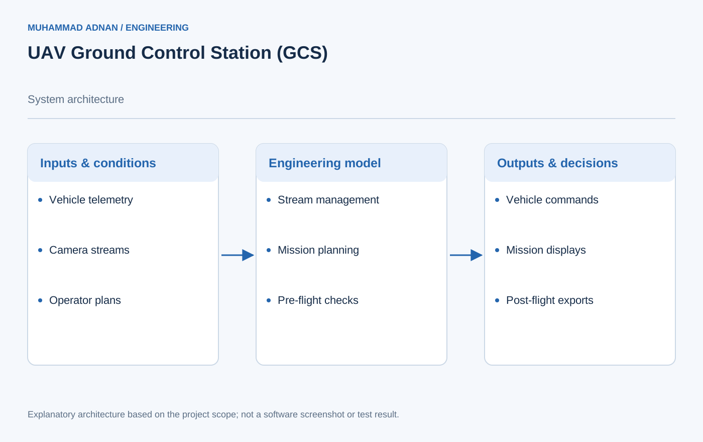
Professional Ground Control Station for multi-UAV operations including custom 900MHz FHSS radio hardware (40km range) and Python-based mission planning software supporting simultaneous control of up to 6 UAVs with individual telemetry streams. The GCS integrates live H.264 video streaming from multiple gimbal cameras, automated pre-flight safety checklists, and geofenced airspace management.
The case study explains mission software and radio-system integration. Any illustrated interface should be treated as a conceptual information layout, not a captured screen.
The engineering challenge
Present separate vehicle states and video feeds while supporting coherent mission preparation and review.
Engineering approach
- Keep telemetry streams associated with individual vehicles.
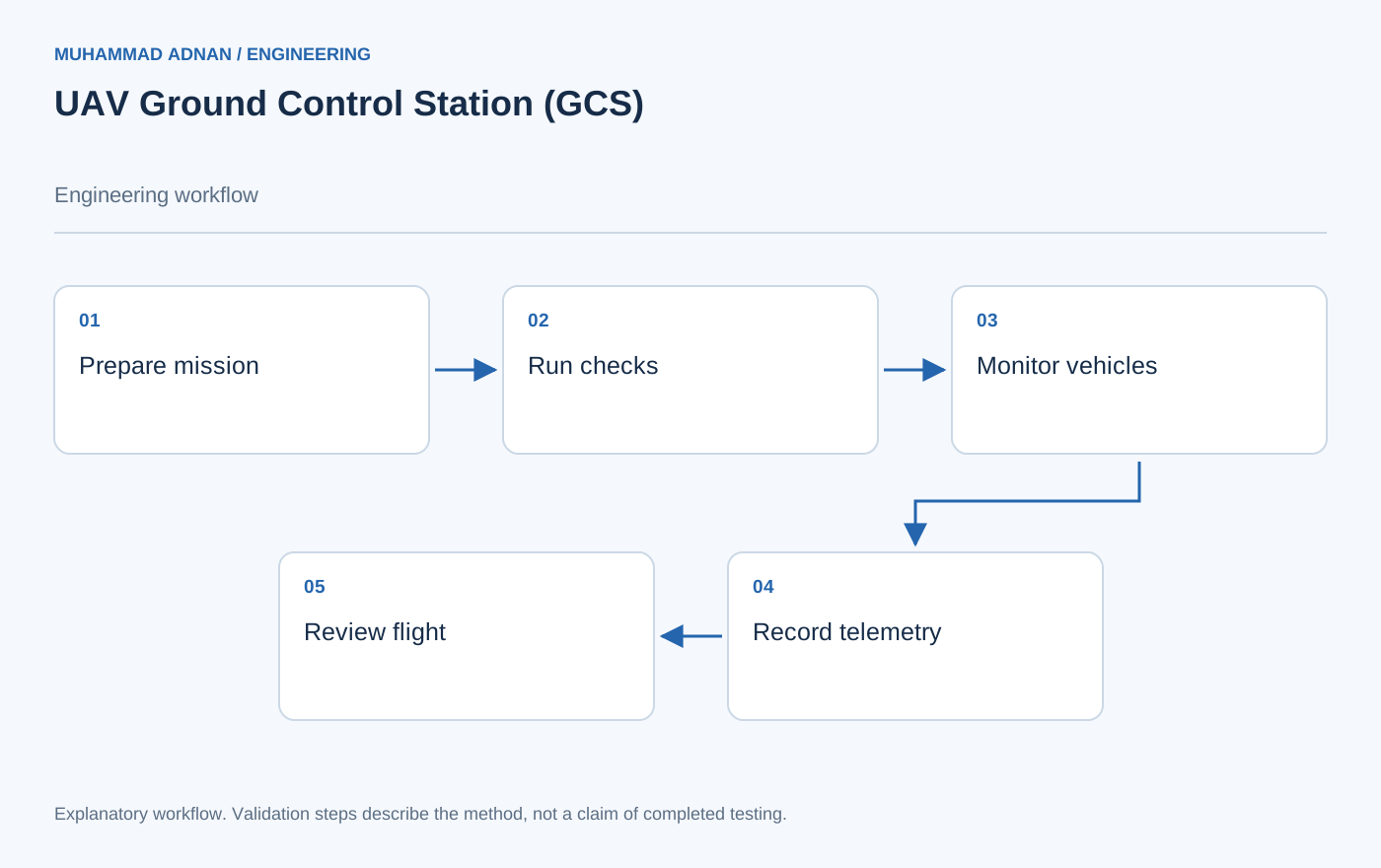
- Combine waypoint, geofence, and checklist tools in the mission workflow.
- Link live monitoring with stored logs for post-flight inspection.
Features & capabilities
- Simultaneous monitoring of up to 6 UAV telemetry streams
- Custom 900MHz FHSS radio: 40km range, 115kbps data rate, 1W PA
- Mission planning: waypoints, survey grids, geofences, no-fly zones
- Live H.264 video with OSD telemetry overlay from multiple camera feeds
- Automated pre-flight checklist: battery, GPS fix, actuator, compass health
- Post-flight analytics: KML path, battery consumption, wind data
- Automated pre-arm safety checks and collision prediction alerts
- QGroundControl integration for secondary operator monitoring
Software & engineering tools
Python (PyMAVLink), Qt5 UI, OpenCV H.264, SiK radio 900MHz, FHSS modem hardware, 3D-printed ruggedized case